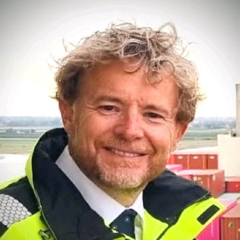
Kris Decker
Kris Decker is the founder and product owner of OptiRiver, which he started in March 2023, and is based in Antwerp. He also holds several other current roles: pilot and digital advisor on the River Scheldt for the Port of Antwerp Bruges with Loodswezen DAB since September 2014, having joined as a junior pilot in September 2013, nautical expert at IMDC since March 2019, guest lecturer in ECDIS at the Antwerp Maritime Academy since January 2021, and senior ICT advisor at Works Smart since 1992.
Between December 2009 and August 2013 he worked at Exmar, first as offshore barge master, then as commissioning master, marine operations manager and offshore operation manager. Before that he was a navigation officer with the Jan De Nul Group from 2004 to 2009, general manager of Jerboa Software from 1997 to 2004, and a freelance Delphi developer for KBC, Mazda, Wolters-Kluwer and MES in the late 1990s.
He studied nautical sciences at the Antwerp Maritime Academy, graduating with a master's degree in 1995, after secondary schooling at Atheneum Schoten and Brazoswood High School.
Insights & takeaways
Kris Decker's public voice moves between two registers that turn out to be the same subject seen from different distances: the daily texture of piloting ships into and out of Antwerp, and the technical architecture of OptiRiver, the navigation platform he builds and presents. Read together, the posts and demos describe a person who thinks of maritime work as equal parts craft, physics, and data engineering, and who wants each of those framings visible to a broader audience.
The piloting posts are consistently sensory and specific about time of day and light. He tracks golden hour, night transitions, and storm cells with the same attentiveness a working pilot needs on the bridge. On the shift from day to night he writes that "the eyes get less light, the brain reshuffles its priorities," describing how "the eyes spend more time on the instrument screens and less on the horizon" . That is not just scene-setting; it is a statement about how perception and trust in instruments change once visual cues disappear, a theme that connects directly to his interest in giving crews better real-time data regardless of visibility. The storm cell post carries the same instinct to explain the mechanism behind a striking image, walking through how "extreme heat in the North Sea region fuels intense evaporation" until "the sky darkens to an ominous bruised purple" and concluding, after being caught out, "This is the first time I got soaked during a pilot change" . He does the same with infragravity waves, unpacking why "massive container ships can bounce around like toy boats inside a harbor" through the "bathtub effect" of seiching . Across these posts the throughline is that operational hazards, whether storms, waves, or darkness, have explainable physical causes, and understanding them is part of doing the job well.
Community and place matter to him as much as mechanics. He repeatedly frames Antwerp as home ground, calling it "my hometown Stad Antwerpen" and naming colleagues, classmates from the Antwerp Maritime Academy, and partner organizations like Loodswezen DAB, Boluda Towage, and Groep De Wit when marking events like Tall Ships Antwerp . He also credits people by name in professional settings, thanking hosts and colleagues after visits and demos, as with Kpler where he thanks "Rafael Klajman for the invitation," "Joos Van den Bergh for the ride home," and "Yves Van Seters for the insights" . This habit of naming names suggests he sees maritime work as fundamentally relational, built on institutional ties (MDK, Port of Antwerp-Bruges) and personal ones, not just technology.
The Kpler post is the clearest articulation of his data philosophy: "it's about the cargoes those vessels are transporting. If you track the vessel, you know where the cargo is going. If you know where the cargo is going, you know where the money 💰 is flowing" . This is the conceptual bridge to OptiRiver, which he pitches as adding "the 3rd dimension to the AIS data stream" . Across the OptiRiver demos, his explanations are consistent and concrete rather than promotional. On the Magdalena River application, he describes a "three-dimensional navigation app that identifies shallow and narrow areas" plus a "voyage planning tool that integrates water level data and bathymetric maps" and logistics features to "calculate maximum barge capacity based on current river conditions," all aimed at reducing "delays, fuel consumption, and safety hazards" 14. On under-keel clearance, he explains the core danger plainly: insufficient clearance "can cause grounding and environmental damage," and describes sensors and analytics feeding "real-time information on water depth, vessel draft, and environmental conditions" back to operators 15. In the safe-navigation demo he emphasizes that the platform "collects depth data from vessels and converts it into dynamic maps," and stresses that shipping companies retain "control over their navigational data collection and analysis" 16, a detail that signals he thinks about data ownership and trust, not just technical capability.
The Brel post stands apart in tone but reveals something about how he thinks about competence and commitment generally. Quoting his own résumé line, "Le talent, c'est avoir l'envie de faire quelque chose" , he defends the choice against a recruiter's surprise by insisting Brel "wasn't talking about mild ambition. He meant a consuming fire" . He does not sanitize his subject, calling Brel "an absent father, an unfaithful husband" alongside "a world class performer" , and frames talent as inseparable from radical, sometimes costly intensity. Applied back to his own maritime writing, this suggests his professional pride rests less on credentials than on sustained desire and attention to craft, whether that craft is manually piloting a tanker at golden hour or building sensor networks to map a riverbed in real time 16.
The concrete takeaway from Decker's public record is a consistent worldview: safe navigation depends on marrying embodied, sensory expertise (reading light, storms, waves) with rigorous, real-time data systems (AIS, bathymetric mapping, under-keel clearance monitoring), and neither substitutes for the other. His stated ambition, to "add the 3rd dimension to the AIS data stream" , is really an ambition to formalize the intuitive vigilance he practices and describes as a working pilot, so that the same instinct that makes him notice "the golden hour" or a fast-moving storm cell becomes something a platform like OptiRiver can also see, calculate, and share with captains navigating unfamiliar or shifting waters 141516.
Career
OptiRiverFounder/Product OwnerMar 2023 – Present
- Antwerp Maritime AcademyGuest Lecturer - ECDISJan 2021 – Present
IMDCNautical ExpertMar 2019 – Present
- Loodswezen DABPilot - Digital Advisor - River Scheldt - Port of Antwerp BrugesSep 2014 – Present
- Works SmartSenior ICT Advisor1992 – Present
- ExmarOffshore Operation ManagerMar 2013 – Aug 2013
- Loodswezen DABJunior Pilot - River ScheldtSep 2013 – Aug 2014
- ExmarMarine Operations ManagerAug 2012 – Mar 2013
- ExmarCommissioning MasterJan 2012 – Jul 2012
- ExmarOffshore Barge MasterDec 2009 – Dec 2011
- Jan De Nul GroupNavigation OfficerSep 2004 – Oct 2009
- Jerboa SoftwareGeneral ManagerSep 1997 – Sep 2004
- KBC, Mazda, Wolters-Kluwer, MESFreelance Delphi Developer1997 – 1999
- KBC, Mazda, Wolters-Kluwer, MESFreelance Delphi Developer1997 – 1998
- Antwerp Maritime AcademyMaster, Nautical Sciences1991 - 1995
- Atheneum SchotenHigh School, Mathematics and Computer Science1986 - 1991
- Brazoswood High School1986 - 1990
- Antwerp Maritime Academy
From public career histories · 18 entries
Media & appearances
3 14demoOptiRiver for the MagdalenaKris Optiriver · 1 year ago · 2:07 · 33 views
Kris Decker discusses OptiRiver, a platform designed to improve navigation on Colombia's Magdalena River by providing real-time guidance to pushboat convoy captains. The platform includes a three-dimensional navigation app that identifies shallow and narrow areas, a voyage planning tool that integrates water level data and bathymetric maps, and logistics capabilities that help calculate maximum barge capacity based on current river conditions. These tools aim to reduce delays, fuel consumption, and safety hazards while optimizing cargo transport efficiency.
 15demoOptiRiver - UKCKris Optiriver · 1 year ago · 1:18 · 68 views
Kris Decker discusses OptiRiver's technology for monitoring under-keel clearance in shallow rivers and canals, explaining that insufficient clearance between a vessel's bottom and the riverbed can cause grounding and environmental damage. He describes how OptiRiver uses sensors and data analytics to collect real-time information on water depth, vessel draft, and environmental conditions, then provides recommendations to vessel operators to maintain safe navigation distances and reduce grounding risks.
 16demoOptiRiver - Safe and Swift river navigationKris De Decker · 2 years ago · 1:23 · 107 views
Kris Decker presents OptiRiver, a real-time river mapping platform that collects depth data from vessels and converts it into dynamic maps to aid navigation. He highlights that the technology prioritizes safety by providing accurate riverbed information to reduce groundings, allows crews access to current data for informed decision-making, and gives shipping companies control over their navigational data collection and analysis.