
Overview
ANYWAYS lets cities and road authorities edit their road network, test scenarios, and publish the result as a live route planner or open data feed for Google, TomTom and HERE. The platform supports traffic engineers and consultancies in building scenarios, analyzing road closures, and planning low-traffic neighbourhoods, while allowing local authorities to communicate network changes publicly and send structured updates to navigation providers.
Key people

In the news
- State Of The Map this weekend was one of the best ever for me. I assumed this trip would be mostly for fun and seeing old friends but I got a lot out of it for ANYWAYS: - New route planning ideas to work on (and to give up on) - Very technical stuff like scaling Postgres databases - New projects on roadworks and temporary changes I learned about - Public transport routing and data management - Demand modelling based on OSM That last one is the main driver behind our next big new feature, and it was completely unexpected to be able to

- Today and this weekend I am at State Of The Map in Paris! #sotm is always a great event for me with long time friends, a lot of familiar faces and always new interesting people to meet. The first few talks are finished and already I have some new ideas in my head. In the next few days there will be a few great talks for ANYWAYS about OSM data for transport modelling and my personal favorite topic, route planning. If you are interested in any of these topics and at #sotm too, always up for a conversation. My first State Of The Map

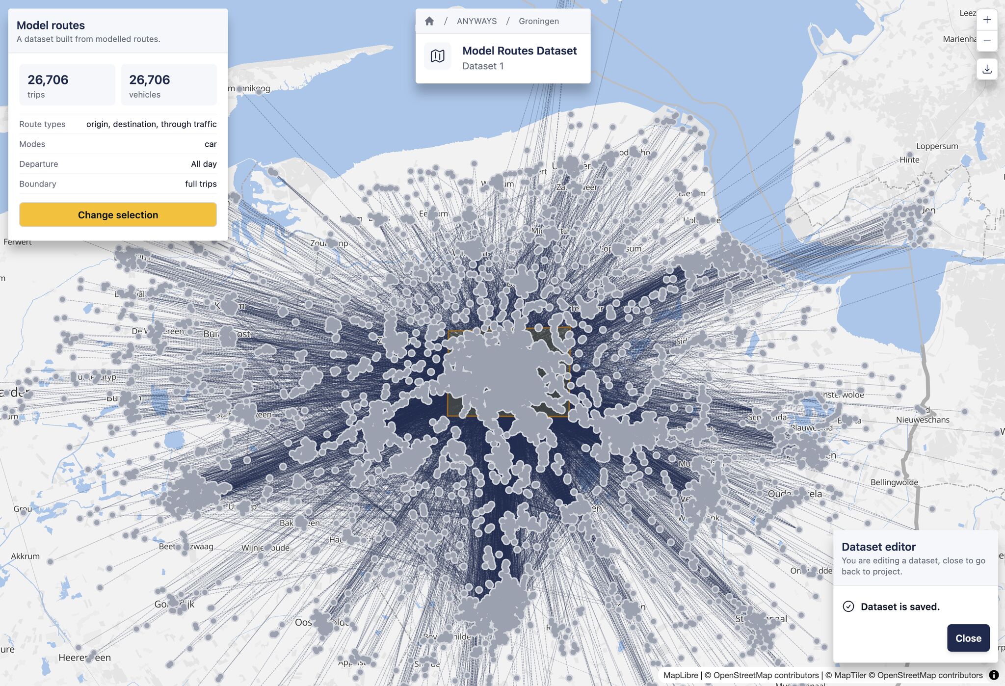
- A sneak preview of what we are building at ANYWAYS right now. Most projects start with data. We have got much better at that part over the last year. You can now bring your own counts into ANYWAYS, but there is still some manual work involved. We think it can still be easier, and give a more realistic result at the same time. The idea: all you have to do is upload your counts and sanity check the result. For this we have built a layer of realistic routes from an agent-based model, covering different modes and purposes. Those routes
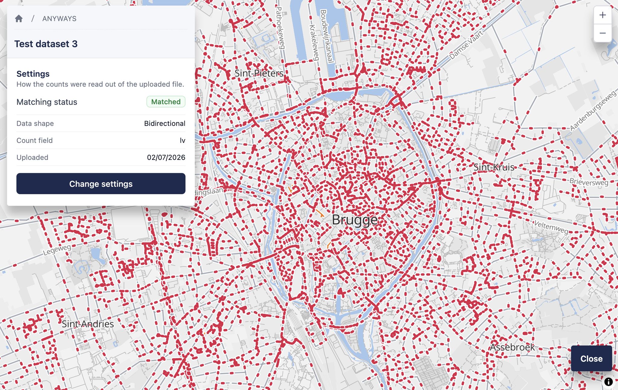
- Now that we have the 40,000 counters in ANYWAYS, what if the counts you need aren't in there? 🤔 You could already manually input your own but now you can also upload them in bulk. Say you have volumes from an existing model, or a pile of counts on a network you've already built. Upload them, and we'll match them onto everyone's favorite network: OpenStreetMap! Your counts then show up in the counters editor, right next to the open-data ones. Click one and it becomes a counter, seeded with the number you counted. A link to our docs
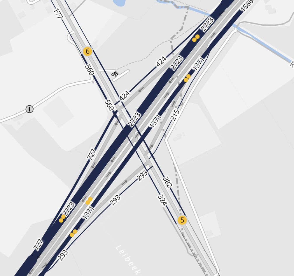
- In ANYWAYS we now have data from 40,000 traffic counters available👇 We have integrated data for Flanders (AWV), the Netherlands (NDW), Germany (BASt) and the UK (National Highways). Data is available as AADT, plus morning and evening peak (weekdays), per year and per vehicle type. Pick a value and it becomes a counter at that location, which is then used to estimate an origin-destination matrix. Ireland (TII), Denmark (Vejdirektoratet) and Sweden (Trafikverket) are in the works. A link to our docs is in the comments if you want

Something wrong or missing? Send an update. Fixed within 24 hours.