
Overview
Nazka Mapps helps modernize geodata infrastructure, design customized and accessible maps, and unlock action-oriented insights for experts, policymakers and the public. The company transforms geodata into intuitive, interactive map experiences that support decision-making on issues such as climate, mobility, environment and health. They assist organizations in transitioning from traditional GIS servers to modern, cloud-native geodata solutions.
In the news
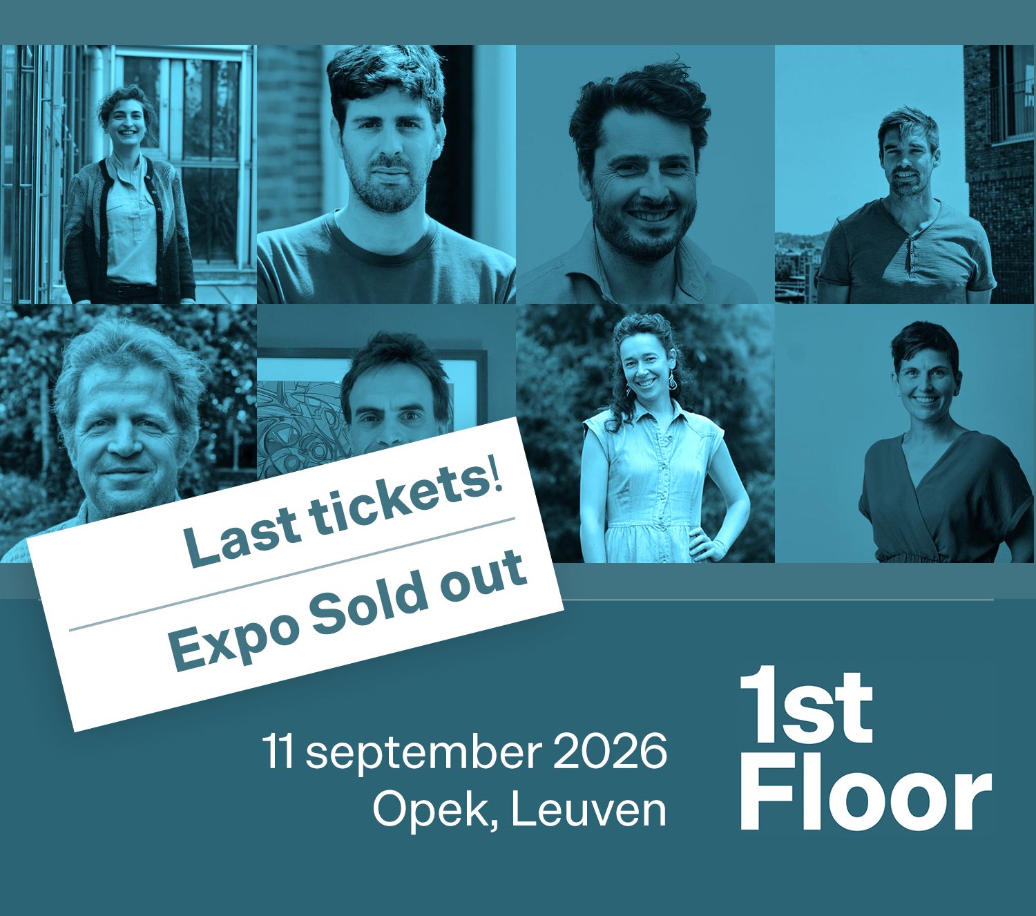
- 𝗟𝗮𝗮𝘁𝘀𝘁𝗲 𝗸𝗮𝗻𝘀! ⏰ 𝗟𝗮𝘀𝘁 𝗰𝗵𝗮𝗻𝗰𝗲! Er zijn nog maar enkele deelnemersplaatsen beschikbaar voor ons 1st Floor event op 11/09 in Leuven - de laatste plekken gaan razendsnel. Reserveer nu op 1st-floor.be voor het te laat is. Onze expomarkt is trouwens al volledig volzet, met 10 topstandhouders: Citizen Dialog Kit (Jorgos Coenen en Gregory Denis), Nazka Mapps (Han Tambuyzer), Movias (Jasper Mariën, Koenraad Verduyn en Melanie Verstraete), Cegeka (Glenn Homblé en Giovanni Belcastro), XenomatiX - TRUE SOLID STATE LIDAR
- From different data sources to one operational picture During a wildfire, information comes from many different sources. The challenge is not only to have the data, it is to integrate it and make it directly usable by first responders. This was one of the objectives of the European Space Agency - ESA SmartConnect project. Different layers of information including Copernicus EFFIS Earth Observation data and operational information from the field were integrated into INA (Intervention App), the common situational awareness platform
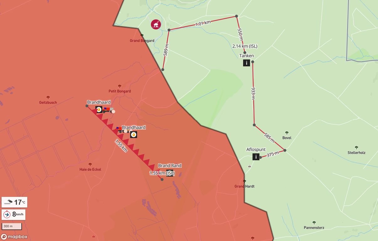
- Vorig jaar nog organiseerden enkele van onze klanten een grootschalige natuurbrandoefening, samen met naburige zones. Blij te zien dat hun opgebouwde expertise wordt ingezet in de natuurbrand in de Hoge Venen. Meer bepaald op de noordoost kant van het getroffen gebied, de meest uitdagende zone, naar uitbreiding van het vuur en toegankelijkheid van het gebied. Brandweerlieden zijn van alle markten thuis, gisteren groeven ze nog grote brandgangen met zware machines in een, zoals je kan zien, een dsytopisch landschap. Met INA zorgen we

- Take a break and dive into the latest updates from Nazka Mapps. In this edition, you'll learn about the projects we work on to improve climate resilience of our cities, the importance of solid maintenance and hosting of your applications, and how a mapping partner can still make a difference in these dazzling AI-times. #geospatial #mapsthatmatter #climateresilience #geoAI
- Mobiliteit als sleutel tot werk: NaarJobs.be in het VDAB Jaarverslag 2025 🚲🚌👣nazka Voor veel werkzoekenden bepaalt bereikbaarheid mee of een job écht haalbaar is – zeker voor wie geen eigen wagen heeft of in vervoersarmoede leeft. Met NaarJobs.be tonen we vacatures niet langer op basis van “kilometers tot de werkplek”, maar op basis van werkelijke reistijd en bereikbaarheid vanaf het thuisadres, met de fiets, te voet, met het openbaar vervoer of de wagen. In het VDAB Jaarverslag 2025 wordt mooi beschreven hoe deze inzichten
- Next week (Tuesday evening) it’s time for #geomobBE in Brussels again – an evening of geo-inspiration, maps and relaxed conversations. We’re excited to welcome this line-up of speakers: 👉 Alexandre Jaillon (MSF GIS Centre) – sharing how humanitarian mapping, conflict analysis and field-oriented GIS products help Médecins Sans Frontières plan operations, keep staff safe and reach people in crises more effectively 👉 Manuel Claeys Bouuaert – cartographer behind the Belgian edition of Topotijdreis, showing how 200 years of

Related profiles
Something wrong or missing? Send an update. Fixed within 24 hours.