
Overview
TOPO4D is a surveying expert that combines classical land surveying with advanced measurement technology including 3D-scanning, drone operations, and thermal imaging. The company provides services such as terrain measurements, boundary determinations, drone imaging, orthophotos, volume calculations, and monitoring for clients in construction, infrastructure, government, and notary sectors.
In the news
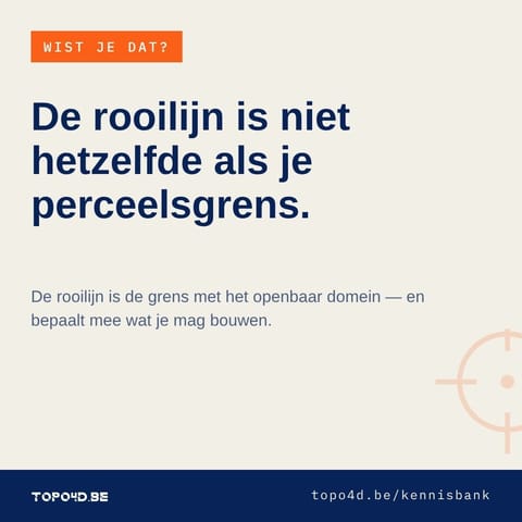
- De rooilijn ligt niet altijd waar u denkt dat uw perceel begint. De perceelsgrens zegt wat van u is. De rooilijn zegt waar het openbaar domein eindigt — vandaag, of in de toekomst als de weg ooit verbreed wordt. Die twee vallen niet altijd samen. Waarom dat telt: tussen rooilijn en gevel geldt vaak een bouwvrije strook, en wie bouwt of verkavelt kan verplicht worden om grond tot aan de rooilijn kosteloos af te staan. Bij een rooilijnbepaling in Machelen legden we dit jaar de rooilijn én de perceelsgrenzen samen vast in één pv van
- Hoe weet je zeker dat een gebouw of een terrein niet beweegt tijdens werken ernaast? Door eerst exact vast te leggen waar alles vandaag staat. Op een werf in Kapellen maten we 15 peilbuizen in: X en Y met GNSS, de hoogtes met waterpassing — nog altijd dé referentie als het op hoogtenauwkeurigheid aankomt. De lus sloot op een halve millimeter, en het verslag was een dag na de meting klaar. Grondwaterpeilen opvolgen, zettingen monitoren of een nulmeting vóór de werken? Dat begint bij hoogtes waar je op kunt bouwen. topo4d.be
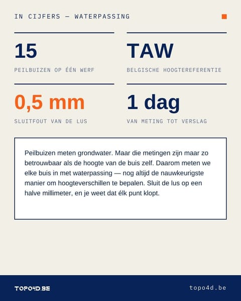
- Hoe weet je zeker dat een gebouw of een terrein niet beweegt tijdens werken ernaast? Door eerst exact vast te leggen waar alles vandaag staat. Op een werf in Kapellen maten we 15 peilbuizen in: X en Y met GNSS, de hoogtes met waterpassing — nog altijd dé referentie als het op hoogtenauwkeurigheid aankomt. De lus sloot op een halve millimeter, en het verslag was een dag na de meting klaar. Grondwaterpeilen opvolgen, zettingen monitoren of een nulmeting vóór de werken? Dat begint bij hoogtes waar je op kunt bouwen. topo4d.be
- Zeer goed landmeetkantoor, up-to-date met alle innovaties op de markt. Alles werd mooi in beeld gebracht.” Dat schreef Jonas V. na zijn opmeting, en dat “mooi in beeld” nemen we als compliment én als lat. Wie bij ons een plan bestelt, krijgt geen stapel coördinaten, maar een document waar je meteen mee verder kunt — naar de notaris, de architect of de aannemer. Benieuwd wat we voor jouw perceel of gebouw kunnen betekenen? topo4d.be

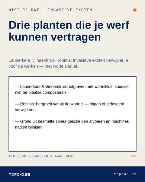
- Drie planten die je werf kunnen vertragen: laurierkers, vlinderstruik en robinia. Alle drie invasieve exoten — en alle drie kwamen we ze vorige maand tegen bij één natuurinventaris op een bosperceel in Zaventem. Wie ze bij grondwerken gewoon mee afgraaft, verspreidt ze net: robinia schiet opnieuw op vanuit de wortels, en grond uit besmette zones hoort gescheiden afgevoerd te worden. Machines reinigen na werken in zo'n haard is geen overbodige luxe. Daarom bakenen we exotenhaarden mee af bij een inventarisatie van natuurwaarden: op
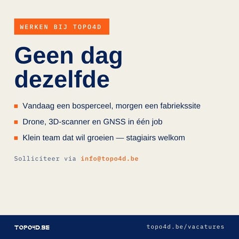
- Maandag tussen de bomen in Zaventem, dinsdag met de drone boven een fabriekssite, donderdag puntenwolken verwerken op kantoor. Landmeten bij TOPO4D is geen dag dezelfde: totaalstation, GNSS, drone en 3D-scanner wisselen elkaar af, en je werkt mee aan dossiers van grensbepaling tot natuurinventaris. Klein team, korte lijnen, en de ambitie om te groeien. Zin om mee te bouwen — of op zoek naar een stageplek als student landmeten? Stuur iets naar info@topo4d.be. Spontaan solliciteren mag altijd. topo4d.be
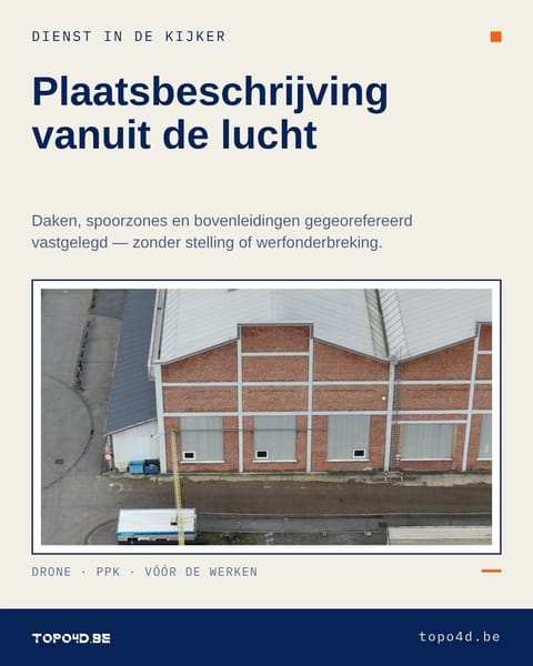
- Een plaatsbeschrijving stopt niet waar de ladder ophoudt. Dienst in de kijker: plaatsbeschrijvingen met drone. Vóór de werken starten leggen we ook de plekken vast die je te voet niet veilig bereikt: daken, gevels op hoogte, spoorzones, bovenleidingen. Haarscherpe, gegeorefereerde beelden (PPK) die achteraf elke discussie over schade kunnen beslechten — zonder stelling, hoogtewerker of werfonderbreking. Zo brachten we in Mechelen een volledige spoorzone in beeld, bovenleiding incluis, op een halve dag. Werken gepland naast
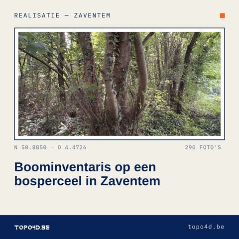
- Ook dit is landmeten: een bosperceel in Zaventem, boom per boom. In opdracht van een school inventariseerden we er de natuurwaarden: alle vegetatie in drie lagen (kruid, struik, boom), verdeeld over vijf zones. Zware esdoornstoven, stammen zo dicht met klimop begroeid dat zelfs de soort pas ter plaatse te bepalen valt, en drie invasieve exoten die vóór eventuele werken aangepakt moeten worden. De terreinopname (ca. 290 foto's) koppelen we aan onze NavVis-puntenwolk: stamposities, stamomtrekken en kroonprojecties komen rechtstreeks

Something wrong or missing? Send an update. Fixed within 24 hours.