Overview
Kris Decker is the founder and product owner of OptiRiver, which he started in March 2023, and is based in Antwerp. He also holds several other current roles: pilot and digital advisor on the River Scheldt for the Port of Antwerp Bruges with Loodswezen DAB since September 2014, having joined as a junior pilot in September 2013, nautical expert at IMDC since March 2019, guest lecturer in ECDIS at the Antwerp Maritime Academy since January 2021, and senior ICT advisor at Works Smart since 1992.
Between December 2009 and August 2013 he worked at Exmar, first as offshore barge master, then as commissioning master, marine operations manager and offshore operation manager. Before that he was a navigation officer with the Jan De Nul Group from 2004 to 2009, general manager of Jerboa Software from 1997 to 2004, and a freelance Delphi developer for KBC, Mazda, Wolters-Kluwer and MES in the late 1990s.
He studied nautical sciences at the Antwerp Maritime Academy, graduating with a master's degree in 1995, after secondary schooling at Atheneum Schoten and Brazoswood High School.
Career history

Insights & ideas
The through-line
Across the LinkedIn posts, Kris Decker keeps returning to the same tension: piloting ships through the Scheldt and its locks is a craft built on tight margins of timing, tide and draught, and he treats the technical precision of that work as something worth documenting almost daily [1][4][8][10]. Over the period covered, this documentation of daily pilotage runs alongside a parallel thread about OptiRiver, a data platform for river navigation that he demos and promotes, from field validation on the Venta River in Latvia [9] to explainer demos on under-keel clearance and voyage planning [16][17][18]. The shift is not a change of position so much as a widening of it: the same attentiveness to depth, draught and timing that he brings to piloting a tanker into a lock [8][10] is what he is trying to encode into OptiRiver's tools [16][17].
On timing and the lock
Decker frames piloting as a problem of synchronization. With ships arriving, departing and swinging simultaneously in a busy port, he states plainly that "Timing the arrival is key to keeping it running" [4]. He also documents how thin the margins can get: mooring a "loaded tanker" at "Deep draught, low tide" took "a long 15 minutes" because "mud sediment in the lock chamber kept her from the lock wall," leaving "a 50 cm gap between the lock wall and the vessel's hull" until the water level rose [8]. Elsewhere he notes a lock "was waiting so we kept going for a little longer than normal" [10], underscoring that the schedule of the lock, not just the ship, dictates the pilot's day.
On the beauty of the job
Alongside the technical framing, Decker repeatedly voices an aesthetic appreciation for the working conditions of piloting. Comparing a solar eclipse to a sunrise transit, his verdict is that "an eclipse can not beat the sunrise spectacle," adding "You don't need plastic protection glasses to witness the beauty of a colorful sunrise" [5]. He describes a "Summer inbound day trip" with "Blue skies and fluffy clouds" [11], an outbound run as "Onboard, cast off, go, day and sun" [7], and a night transit noting "Days are getting shorter. Nights are getting longer" [1]. This vocabulary of light and weather recurs enough to function as his running commentary on the job itself.
On OptiRiver and river data
In the demo material, Decker describes OptiRiver as a way to replace uncertainty about river conditions with real-time data. He explains a platform that gives pushboat convoy captains "real-time guidance" via "a three-dimensional navigation app that identifies shallow and narrow areas," a "voyage planning tool that integrates water level data and bathymetric maps," and logistics features to "calculate maximum barge capacity based on current river conditions" [16]. On under-keel clearance specifically, he describes using "sensors and data analytics" to collect "real-time information on water depth, vessel draft, and environmental conditions" so operators can "maintain safe navigation distances and reduce grounding risks" [17]. He frames the underlying goal as safety and operator control: giving "crews access to current data for informed decision-making" and giving "shipping companies control over their navigational data collection and analysis" [18].
From the stage
The OptiRiver demos add technical specifics that the LinkedIn posts about his own pilotage runs never spell out. Where the posts show him piloting individual ships, the demos describe the system-level tooling: a voyage planning tool that combines water level data with bathymetric maps, and a logistics component for calculating maximum barge capacity under current river conditions [16]. He also frames under-keel clearance monitoring explicitly as an environmental issue, since insufficient clearance "can cause grounding and environmental damage" [17], a framing not present in his day-to-day lock and tanker posts. And he states a data-ownership position, that the platform should give "shipping companies control over their navigational data collection and analysis" [18], a point about who controls the data that has no equivalent in his personal piloting posts.
Takeaways
- Piloting decisions in the Scheldt locks operate on margins as small as 50 cm between hull and lock wall under low tide, requiring waiting for the water level to rise before berthing [8].
- Port throughput at Antwerp-Bruges depends on synchronizing outbound, inbound and swinging ships at once, making arrival timing the operative constraint [4].
- OptiRiver's voyage planning tool for the Magdalena River integrates water level data and bathymetric maps with a barge-capacity calculator to reduce delays and fuel use [16].
- OptiRiver's under-keel clearance feature uses sensors and analytics on water depth, draft and environmental conditions to cut grounding risk and environmental damage [17].
- The platform is positioned to keep navigational data control with shipping companies themselves, not just the technology provider [18].
- OptiRiver's data-capture components have been field-validated on real waterways, including the Venta River in Latvia [9].
Media & appearances
- Kris De DeckerYouTubeOptiRiver - Safe and Swift river navigationKris Decker presents OptiRiver, a real-time river mapping platform that collects depth data from vessels and converts it into dynamic maps to aid navigation. He highlights that the technology prioritizes safety by providing accurate riverbed information to reduce groundings, allows crews access to current data for informed decision-making, and gives shipping companies control over their navigational data collection and analysis.
- Kris OptiriverYouTubeOptiRiver - UKCKris Decker discusses OptiRiver's technology for monitoring under-keel clearance in shallow rivers and canals, explaining that insufficient clearance between a vessel's bottom and the riverbed can cause grounding and environmental damage. He describes how OptiRiver uses sensors and data analytics to collect real-time information on water depth, vessel draft, and environmental conditions, then provides recommendations to vessel operators to maintain safe navigation distances and reduce grounding risks.
- Kris OptiriverYouTubeOptiRiver for the MagdalenaKris Decker discusses OptiRiver, a platform designed to improve navigation on Colombia's Magdalena River by providing real-time guidance to pushboat convoy captains. The platform includes a three-dimensional navigation app that identifies shallow and narrow areas, a voyage planning tool that integrates water level data and bathymetric maps, and logistics capabilities that help calculate maximum barge capacity based on current river conditions. These tools aim to reduce delays, fuel consumption, and safety hazards while optimizing cargo transport efficiency.
In the news
- Big, bigger, biggest 400 meters of steel
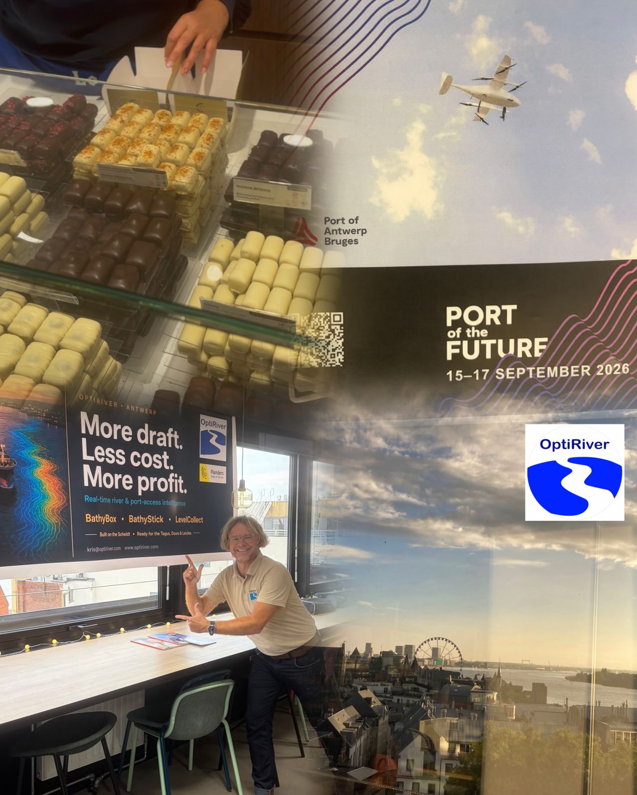
- The future is digital. But chocolates are physical. OptiRiver is digital. But rivers are physical. Up to me to bridge the physical with the digital. Up to me to bring the Belgian chocolates to the future. No better conversation starter than offering some delicious Belgian pralines. And thus chocolates become part of the future. 👉Works everytime. Glad to hear from Manuela Patricio that the Portugese ports are moving forward with their digitalisation program. Optimizing historic waterways in 21st century realities is where OptiRiver
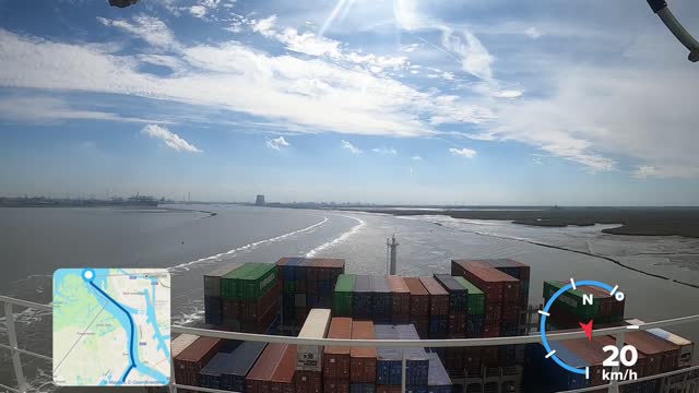
- Swinging 🔁 and making sternway ▶️ The flood current is a strong force during our swing manoeuver. With almost 15 meter draught the vessel behaves like a valve that tries to stop the water mass. The resultant force of the flood tide and the gate effect creates a sideway movement. Port of Antwerp-Bruges agentschap Maritieme Dienstverlening en Kust (MDK) #maritimepilots
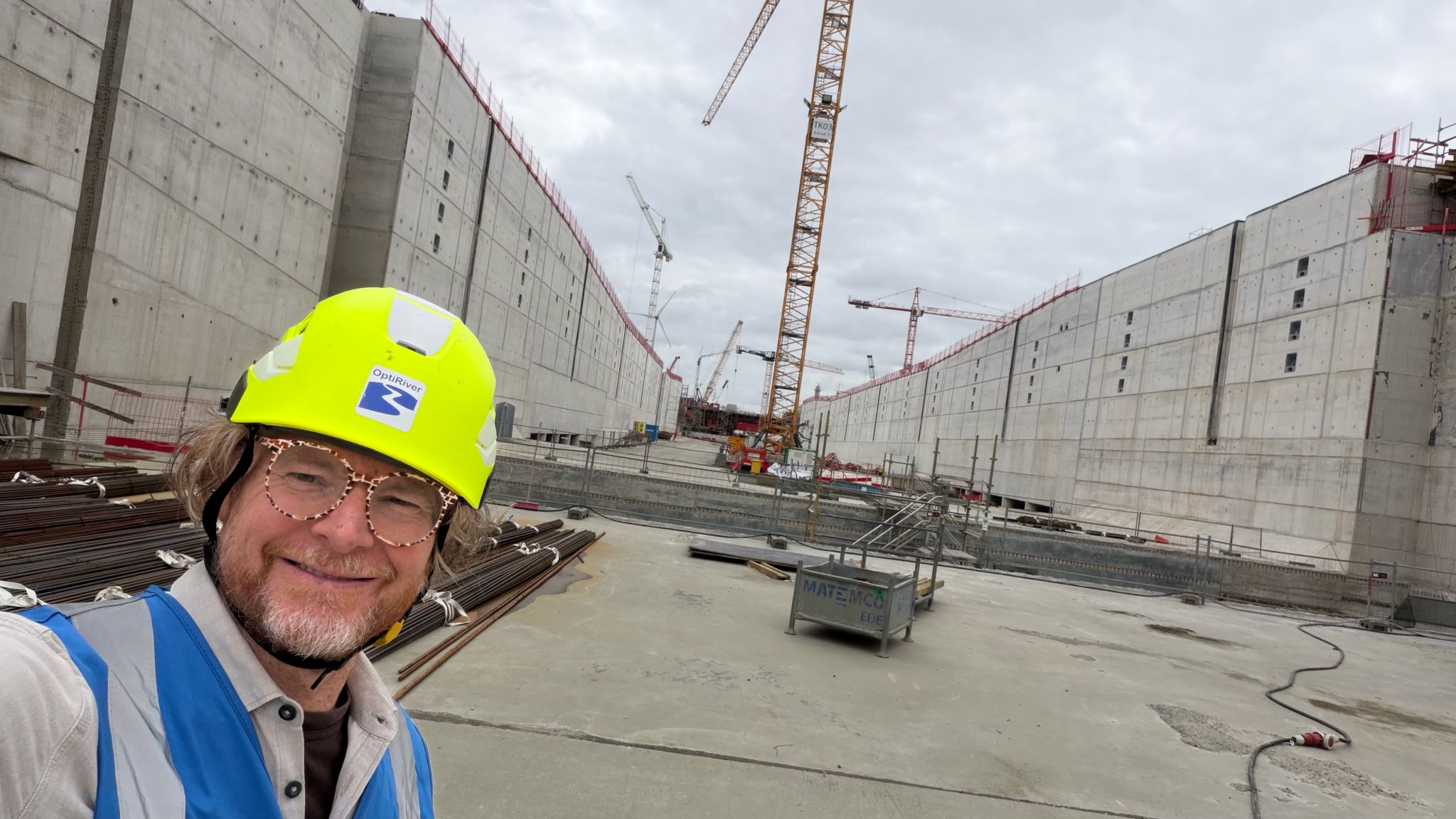
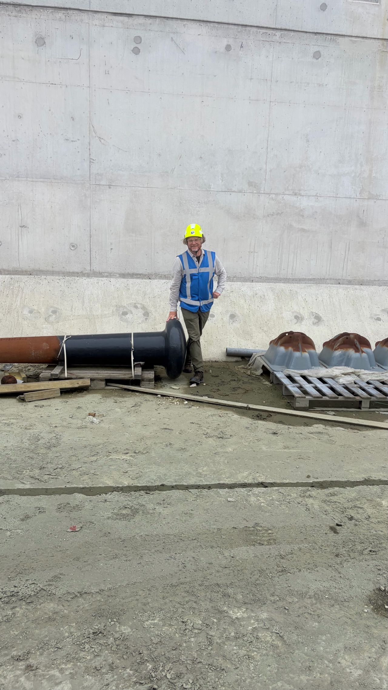
- A new lock in an old lock's location. Still dry but soon to be filled. I used to cross this stretch two times a day on bike. In the morning, heading to the Antwerp Maritime Academy and in the afternoon back to the city. Hundreds of times. I also manoeuvred in and out of the old lock. Small seagoing vessels but strong cross currents. Always nice for telling stories after the ship was safely moored in the lock. Looking forward to sailing into the lock in 2029.
- Het is tijd dat we het Onderwijs laten evolueren naar Bovenwijs. Van ondermaats naar bovenmaats 🚀
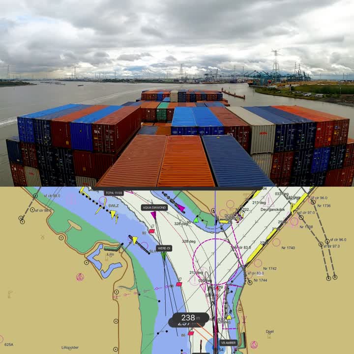
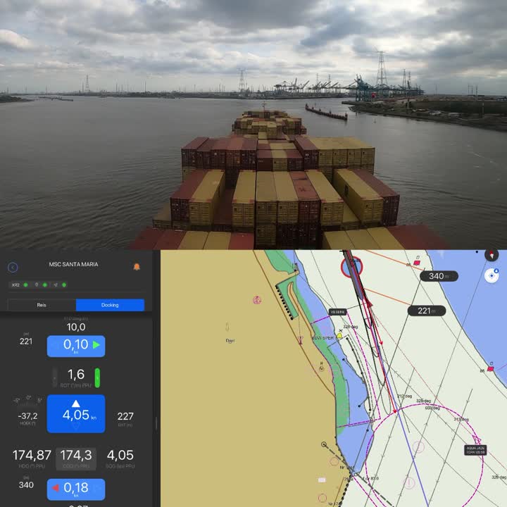
- Swing 💃 & Park 🅿️ Video composition: 🔼 GoPro timelapse 🔽 Pilot navigation system Some offland wind, thus the forward tug was used as side pushtug. agentschap Maritieme Dienstverlening en Kust (MDK) Port of Antwerp-Bruges #digitalpilots #maritimepilots
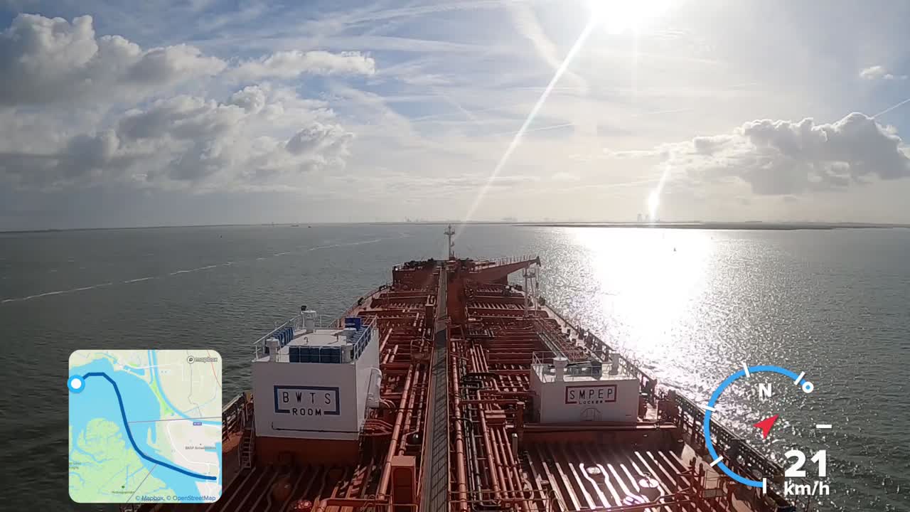
- OneForTheWeekend Inbound product tanker on a sunny breezy Saturday. #maritimepilots agentschap Maritieme Dienstverlening en Kust (MDK) Port of Antwerp-Bruges
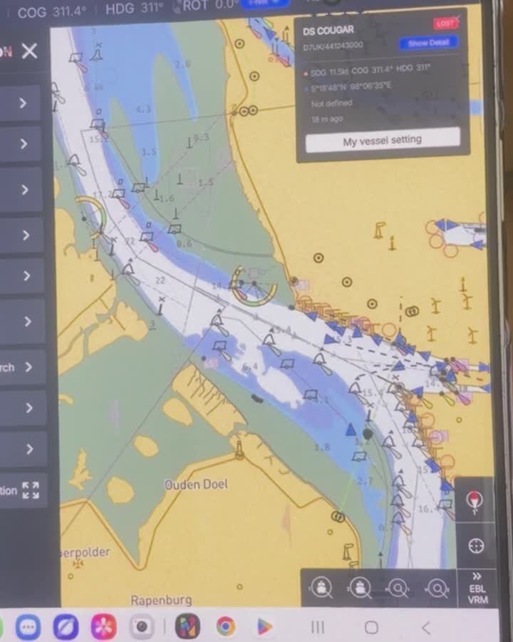
- A foldable chart in your pocket? Check out the MapSea electronic charting system on a Samsung Fold. Visit mapsea Corporation at SMM Hamburg 2026 in Hall B2 (Upper floor), Stand 149
This page shows public professional information only, each fact cited. Is this you? send a correction, or ask for removal within 24 hours, no questions asked.